Nov 26 2009

Drastic Measures

Tag: boat workmattholmes @ 2:02 am

I’m still working on the boat, don’t worry.

I’ve been trying to finish painting the deck, for months now actually, and I am discovering that November 25 in San Francisco is a terrible time to try to dry anything.

Here’s a picture I took today:
_G4Z0583


Notice that it appears our boat is leaving the slip. Don’t be fooled: I pushed the boat half out of the slip in a desperate attempt to shine a little bit more sunlight on the deck. Unfortunately, the boat’s little trip half out of the slip and back in was the farthest it has travelled in months.

Here’s another one for you:
_G4Z0570

In this one, notice the box fan in the upper right background. I ziptied this to the stanchion and have been running it for the past 36 hours.

I don’t have a picture of me holding up one of my photography reflectors trying to dry the side deck–I lasted about 15 seconds before I realized the futility of that one.

Here are some pictures of the progress:

Also, I borrowed a heavy-duty sewing machine from Greg down the dock and I’ve been sewing our lee cloths with really crooked lines of stitches:


Nov 13 2009

Night Activity

Tag: boat work,marina life,preparationmattholmes @ 6:02 am

A brief glimpse into what working on the boat has been like for us the past few weeks:


Nov 09 2009

“Where are you going?”

Tag: navigation,preparation,routemattholmes @ 4:17 am

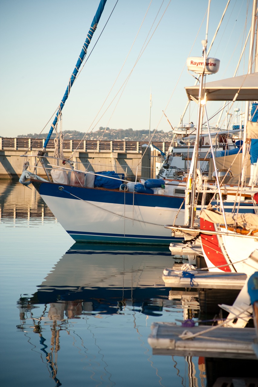
Excellent question!  We’re leaving in January (worst weather off the coast of California is in January) and heading south down the coast to Mexico.  Then we will cross the pacific.  Maybe in March or April?  At this point we’re open to suggestions and easily influenced.

I have illustrated our basic plan on the diagram below, which admittedly is little better than a napkin sketch.

CheatSheetMap


So that’s my cheat sheet, to help me keep it all straight in my head.  “How do you know where to stop?”  is another excellent question.  I chose the stopping points on the map above largely from information gleaned from Louis and Laura, a fantastic couple who we are lucky to count among our friends.  I used to race on the bay with Louis and Laura until they sailed their boat Cirque down the coast; they have been cruising all over the coast of Mexico since then (i.e. good people to ask for advice).

On their recommendation, Karen and I visited Waypoint in Oakland, a store which specializes in charts and navigation-related boating information (the owners also have a winery in the warehouse next to the store–very cool).  We purchased two chart books and a cruising guide, and each night since then we have been spending a little time planning.

Maps of the sea are called “charts”.  Together with a compass, the chart is the foundation for navigation: it is used to figure out where you are, where you’re going, and how to get there.  Old-school charts (still readily available) are huge pieces of paper that you roll up and stuff in tubes to store, and then can never use because you can never flatten the damn things out again.  A “chartbook” contains the same charts cut up into conveniently sized 16″ x 22″ sheets and spiral bound.

The two chartbooks we purchased at Waypoint are titled “Southern California” and “Mexico to Panama“.  While sailing, one of these chartbooks will be open to the page for our location and we’ll plot our progress on it.

The charts are necessary for figuring out the route from port to port, but they don’t give information about where to go once you actually arrive.  Some of the things we need to know about each port are
1) are there any obstacles and dangers while trying to enter the harbor that aren’t marked on the charts?
2) can we anchor?  if so, where?  if we can’t anchor, what marina do we go to and how much does it cost per night for a slip?
3) where is the dinghy dock or beach (the convenient spot to tie up the dinghy while going about your business on land) and how much does it cost?
4) where is the fuel dock, if we need more diesel? 
5) where is the harbormaster’s office, so we can take care of any necessary paperwork?

The “cruising guide” is the source for this information.  The cruising guide consists of mostly text, with rudimentary charts of each harbor (sometimes hand-drawn).  I chose the “Mexico Boating Guide” by Rains; “Charley’s Charts” is another popular one.

And since I love maps and navigation, for extra credit I’m printing out 11″x17″ aerial photos from google maps of some of the anchorages in Mexico for which we have no detailed charts.  It’s amazing how much information you can glean from the aerial photo–you can see where the sailboats are anchored, and you can see where it’s shallow because the water changes color.  Also, it feels much more real and exciting when you can see other sailboats anchored out in the same spot where we will be.

Armed with these resources, we have been working out way down the coast, examining each port on the list we gleaned from Louis and Laura, looking at the charts and locating the anchorage, discussing the merits of whether to stop or skip each possible harbor down the coast.  Most of the harbors get relegated to the “backup list”, to be used in an emergency, or if we get too exhausted and need to duck in for a rest.  Some harbors–like Marina Del Rey and Ensenada on the map above–get the special nod as ideal places to resupply food or diesel.  Others are unavoidable: Turtle Bay for example is pretty much the only protected harbor between Ensenada and Cabo San Lucas.

So we have the charts and the cruising guide and we know where we’re going to start and where we might visit, and that’s enough for now!


Nov 01 2009

Moving Forward

Tag: introspection,musings,preparation,routemattholmes @ 6:22 am

It’s Halloween night, and I found myself sitting with Karen at a table in the common area of our building complex, making large To Do lists for the next few months and planning the details of how to dispose of our worldly belongings and cancel all our accounts and memberships and subscriptions and plans.  I was walking back to our apartment and it dawned on me that most other people were busy spending the night socially i.e. dressing up, drinking, partying, scaring people, trickortreating, whatever, while we were sitting in a large dark quiet room alone with big pieces of paper and magic markers and highlighters and lots of old partially completed to do lists, and then I had the thought: that would have been me a few years ago i.e. out partying and doing halloween stuff but now I’m the type that is planning a monstrous cruising trip without even remembering what day it is.  And also I thought: maybe that’s what people who really sail across oceans would be like when they planned their trip.

Anyway, Karen and I started looking at where we will go in January.  Sure, we’re headed south, then across the pacific, that’s the general plan, but honestly up until this point I haven’t even looked at a map to decide what ports we might hit on our way down the coast. No clue.  So to buy a map and look at aerial photos on google maps and make a list of the spots we can duck into if the going gets rough–well that means we’re getting to a whole new stage of this adventure.  That’s a different kind of preparation than sanding the deck or mounting solar panels (both of which also happened today).  For one, it is a lot more fun to point at the map and say “let’s go there”.  For two, we’re at the point where I’m actively doing all those things that one needs to do in order to  depart from one’s former life start anew disembark cut ties and set out.

And also it means that hey!, we really think it’s going to happen, just like that point in the matrix when mr anderson shows up and is about to put the smackdown on keanu reeves, who wants to run, but then starts to feel all badass and the computer guy back on the mothership says “what’s happening??” and lawrence fishburne says all matter-of-factly “He’s Starting To Believe” with incredible articulation of his words and then keanu reeves doesn’t run to the phone booth to escape but turns around and looks all cocky and then gets totally caught up in this wicked gunbattle with mr anderson but wasn’t truthfully ready to come into his own as “the One” and so gets his ass royally kicked and nearly dies via punching to the stomach followed by being hit by a train before barely escaping.  Moral I guess being that in the end (after the beat down) neo sails around the world!  Metaphorically.