Jun 17 2010

Paradise . . .

Tag: routemattholmes @ 9:52 pm

. . . is a naked girl floating in a crystal clear lagoon with no other humans within 50 miles!

POST DATED

(written 6/12)

We entered the lagoon at Tahanea without incident; like Makemo, we experienced about a 2knot flood which zipped us right through the narrow pass.  When we arrived there was one other boat a half-mile distant; they left later that afternoon, leaving us with another lagoon all to ourselves.  And again, it was glorious.  The water was crystal clear–we could see the bottom to at least 200 feet.

The next day we dinghied over to another pass that was narrowed by reefs on either side, and we snorkeled alongside the dinghy, drifting with the current pulling us back into the lagoon.  It was acres of aquarium, perfectly clear, colorful fish of all sorts that I can’t identify.

We had two days of perfect calm, where the water went glassy; each night the stars were clearly reflected in the surface of the water.  We were the only ones anywhere.  We took the dinghy into the middle of the lagoon to watch the sunset, everything was perfectly still.  A bold little 4ft shark circled the dinghy as if he was going to do something about it.  I cannot give words for the quality of the sunset that evening.  We slept in the cockpit, woke to the sun warming us, jumped right into the water to cool off.


Jun 17 2010

Deserted Island Paradise

Tag: routemattholmes @ 9:29 pm

POST DATED

(written 6/10)

After a frustrating passage from Fatu Hiva, Karen and I shot the pass to enter the lagoon at Makemo Atoll, and found that we had it all to ourselves.  Zero people, zero buildings, zero man-made anything.  We anchored in crystal clear water–the bottom was easily visible at 60 feet–just off a white sand beach lined with palm trees.  For the next three days we snorkeled over gorgeous coral and fish and explored our own deserted island.  It was spectacular–a first in a lifetime experience for me.  This is what we were looking for, this is what we needed.

Regarding atolls: an atoll is a ring of coral with a lagoon in the center.  Sometimes the ring is an unbroken strip of land around the lagoon, but more often it is a mixture of little islands and barely submerged coral reefs.  There are usually only one or two passes into the lagoon (and sometimes none at all).  As the tides rise and fall, all the water in the lagoon tries to enter and exit through these passes, creating at times ridiculously powerful currents.  I have read reports of 20 knot ebb currents in some passes.  As the current in the pass encounters the ocean swell outside, crazy stuff can happen (think white water rafting on the ocean).  Adding to the danger, the passes are often very narrow; the entrance to Makemo was only 85 yards wide–that sure doesn’t feel like much as you’re being carried along in a fast-moving river of current.  And further compounding the peril, coral heads and reefs lie just below the surface, sprinkled throughout the passes and the lagoons like booby traps specially designed for sinking boats.

So shooting a pass into a lagoon is an exciting experience.  You attempt to time it to enter during slack current (the point at which the current is neither flooding nor ebbing, but switching directions), but there is insufficient information available to do this accurately–you never know what current you’re going to find.  As you shoot through the pass you’re carefully following gps waypoints to make a left turn here and a right turn there to avoid unseen mortal peril.  While doing this, strange eddy currents sent straight from hell are trying to spin the boat various directions.  Exciting!

In truth, though it can be terribly dangerous, we haven’t had any close calls with the three passes we’ve done so far.  We have seen 3 knot currents max, and an impressive tongue of white water as we were exiting Makemo, but it all just added to the adventure.

It was also our first experience with anchoring among large coral heads.  Some anchorages in the atolls have mostly sand and little mounds of coral; other spots, like the very first one we encountered on Makemo, have large 8ft tall stacks of coral to wrap the chain around.  In the pictures you can clearly our chain nicely snaked around (the depth is 50 feet in these shots).  It’s good and bad–good because with your chain all tangled up there’s no way you’re going to drag anchor when the wind picks up–bad because it can be a real bitch when you go to retrieve your anchor.  It was fortunate that we had such great visibility; as we weighed anchor karen snorkeled off the bow, examining how the chain was tangled and directing me how to steer to unwrap us.  Combine mediocre visibility with a coral head minefield and it would be easy to lose your anchor somewhere in these atolls.  Neither of us know how to dive–this would be a really good skill to have in places like this, if only to save a $500 anchor!

We had the place to ourselves, we kicked back.  We jumped in whenever we got hot.  We wandered on the abandoned island, finding only crabs and coconuts.  The shallow water at the beach was filled with fish and foot-long reef sharks.  It was quiet, calm, empty.

This is what it’s about, this is seriously fantastic.


Jun 16 2010

Rolling Again

Tag: routemattholmes @ 11:13 am

POST DATED

(written 6/6)

We’re back in the middle of the ocean, on a five day passage between the Marquesas and the Tuamotus.  For the past 24 hours we’ve been sailing “dead down wind” and rolling from left to right in an unceasing pendulum of torture.  Thirty degrees to port, thirty degrees to starboard, tick . . . tock . . . tick . . . tock . . .  It’s never-ending, and it’s very unpleasant.  I’ve tried every trick to mitigate it; it is a result of very light wind and a following sea, and I have conceded that, short of turning around and going in the wrong direction, the torturous motion must be endured.

On the upside, there is a really beautiful sunset.

Below is a picture of us rolling to port, then rolling to starboard; imagine constantly alternating between those two positions.


Jun 16 2010

Fatu Hiva, Stormy

Tag: routemattholmes @ 10:58 am

POSTDATED

(written 6/4)

Our passage from our tranquil little secluded bay on Tahuata was eventful: we were smashed by a sudden squall in the middle of the night with no warning.  In under a minute the wind went from 15 to somewhere between 30 and 40, with driving rain.  I was asleep when it hit (I’m learning how to wake up very rapidly).  We already had two reefs in the main, but the full jib was out.  The wind was so strong I was unable to furl the jib–first time that’s ever happened.  The jib was flogging hard and I still couldn’t furl it in, and I was scared that it was going to tear itself to pieces.  It was dark, things were crazy, my adrenaline was definitely up.  I turned the boat downwind to fill the jib–immediately we were plowing through the ocean at 10 knots.  With the jib blanketed behind the main going downwind I was finally able to furl it up.  Somehow during the commotion I had managed to tear a big flapper of skin off my middle finger too.  We spent the next few hours under double-reefed main, waiting out the squall.

We arrived at the Bay of Virgins, Fatu Hiva, at first light, to discover that it was a small anchorage, heavily crowded with boats.    Moreover, the wind was blowing a steady 20knots, with gusts over 30, and raining hard.  It was a challenging anchoring situation.  There was very little room to maneuver, and sudden gusts made it difficult to go in the desired direction.  It took a few tries: first time I misjudged the placement and we ended up coming to rest too close to another boat for comfort; the second time it seemed that we were dragging though it was hard to tell; the third time it held well and we came to rest exactly in the middle of the biggest remaining space available.  (insert expression of fatigue and sigh of relief)

The Bay of Virgins is lauded as one of the most beautiful anchorages in all the south pacific–I thought it was quite nice.  It is set apart from other spots in the Marquesas by having the most impressive relief: both the anchorage and the small town are surrounded by vertical and overhanging rock formations.  The entire western side of the island has vertical cliffs rising out of the ocean, and crescent shaped knife-blade ridge of mountains through the center of the island is as steep as any I’ve seen.

It was windy as hell and rained hard, on and off, for most of the four days we were there.  We dinghied in to check out the town, also looking for a phone.  We needed to get a message to jon somehow, telling him where and when to meet us in the Tuamotus.  We ended up hiking 10 miles up and over the mountains to the only other town on the island, to purchase a phone card.  We left a message on jon’s voicemail “meet us on Fakarava, we’ll be there June 14 plus or minus 5 days”.  Mission accomplished.  At the end of the day we managed to catch a ride back to our anchorage in a little aluminum boat with a local (we were not excited to walk another 10 miles back).

It continues to be windy rainy and gusty; we hole up down below and enjoy it.


Jun 16 2010

On the Effects of Toughness, Derision, and Arrogance of Nonos

Tag: Uncategorizedmattholmes @ 10:42 am

POSTDATED

(written 5/27)

The guidebooks say to beware of getting bitten up by “nono” bugs on some of these beaches.  The guidebook for this anchorage states “The clear water provides excellent diving and shelling although the beach has many nonos.”  These nonos were a frequent topic of conversation among some of the puddle-jumpers before reaching the Marquesas–people were choosing or avoiding a destination based on whether nonos were reported to be present.  I was dismissively skeptical.  Inside my brain, I laughed at them for being sheltered little white babies afraid of bugs.  I pictured these types as the same ones who won’t go outside because of mosquitoes, or the ones who hike with one of those dorky hot uncomfortable mosquito-netting face bubbles because they don’t want a single bug bite.  Bugs were not going to dissuade me from visiting a place, let me tell you what.  Please, people, are we going to cross an ocean and then be afraid of getting a few bug bites?  

My arrogance on this matter is being revisited on me ten-fold.  Karen and I visited the beach both yesterday and the day before yesterday, and although we were unaware of it, apparently we encountered nonos.  Millions of them, potentially.  Last night hundreds, perhaps thousands of bites materialized across our backs and arms and legs, little red welts that itch furiously.  My back looks like some sort of chickenpox redux.  I am desperate to itch; it is difficult to concentrate on anything with the itch distraction;  I am barely containing the urge to scratch my entire back right off.  

These nonos are legit, my friend.  They are little ninja biters, is what they are.  You can’t see them, you don’t know when they’re attacking you, you don’t know when to run, you’ll just sit there getting eaten up, oblivious to the danger.  Invisible flying minions of the devil.  I felt nothing.  Then at night I have a bite-ridden body.  How do you avoid them when you can’t see them or feel them?  Henceforth, I will go to the beach defensively armored for battle.  T-shirt and shorts minimum, with a prophylactic misting of deet juice.

It makes me think: surely one must develop an immunity to these bugs over time.  If I was a native living on this beach, it would only take a week worth of this hellish itching before I got my ass out of here.  It would be unbearable to live on this beach permanently if it meant always being a pincushion of itchy welts.  I was only exposed for an hour or so–hell if you were out there all the time it would be an ugly sight.  So maybe after a while the bites don’t raise itchy welts–that would make sense to me.  But if there’s no immunity to develop, how the hell did the original Marquesans live on these beaches?  A) they didn’t live directly on the beach B) one develops immunity over time C) they got bitten and ignored it because they are 2 orders of magnitude tougher than me.  Now, no doubt they were tougher than me, so the answer could be C, but I’ll bet you three pamplemousse that the answer is B.  Smarties out there, can you enlighten?


Jun 15 2010

Bloody Goat Leg

Tag: routemattholmes @ 5:27 pm

POST DATED

(written 5/25)

It gets better and better.  We departed Hanamenu Bay on Hiva Oa around noon today, and it only took a few hours to reach our next destination: Hanamoenoa Bay on Tahuata.  Yeah get those names, right?  Not only are the pronunciations impossible, but every place has a name nearly identical to the one you just departed (we are constantly confounded).

Anyway, after looking like a bunch of anchoring idiots for an hour–we managed to drop it onto some rock and it kept dragging on us–we settled in to a beautiful spot.  The water is turquoise colored and crazy clear, and the beach is pretty white sand fronted by palms.  There are only three other boats nearby, so we may just wander around naked anyway.  Perhaps I will make a general announcement on channel 16: “if anyone in this anchorage would be offended by the sight of naked hotties, please respond with your boat name now.”  Nude or clothed, I suspect that this may be our favorite spot so far.

This morning, in the previous bay, we made a number of trips to the beautiful spring (mentioned in the prior post) to fill up our water jugs and deliver them to our tanks.  As we were dinghy-ing back to our boat the final time, some locals were returning to the beach in their own dinghy.  They waved us over, and as we pulled up they whipped out a big bloody goat leg and handed it over to us–apparently they had spent the morning hunting goat in the hills (successfully).  We expressed our sincerest appreciation, and I was appropriately amused by the sight of karen wielding our bloody leg as we bounced and splashed our way back to the mothership (see bloody goat leg below).

So now we’re listening to some thelonius monk while karen butchers our goat leg prior to marination, while I am preparing the bbq and writing this brief post.  It will be bbq goat leg for us tonight, which will be a first so far as I can remember at least, so I sure hope it turns out to be tasty . . .

——————–
next day:

1) I climbed the cliff along the side of the bay and jumped in the water.

2) Just before dinner we noticed a disturbance on the water.  We dinghied over to investigate with our masks and got to swim with a giant manta ray–at least 8 feet across.  Those things are like aliens, man!  But cool aliens.


Jun 15 2010

Hanamenu Bay, Hiva Oa

Tag: routemattholmes @ 5:07 pm

POST DATED

(written 5/24)

I am very fond of this quaint little anchorage.  We arrived mid-morning yesterday after an overnight passage (~30 hours) from Nuku Hiva, beating upwind the entire way.  Fortunately the seas were relatively calm for us, so the upwind work was bearable.

We pulled into the anchorage to find one other boat, Magenta.  Kim and Larry on Magenta waved us off the dock when we departed Mexico, and we were in touch with them on the radio as we crossed the ocean, so it was a treat to meet up with them unexpectedly.

It is plenty windy in this anchorage, which is keeping the boat cool and ventilated and topping off our batteries at the same time.  There are goats somewhere on the hillsides–we hear them occasionally but have been unable to spot any.  We slept out in the cockpit last night under the stars, with a pleasant breeze.  The next day we dinghied to the beach to find the crystal clear spring-fed swimming hole reported by others.  By god this pool was wonderful.  The chilly water was gratifyingly refreshing, and the pool was surrounded with green plants and flowers and grass and mint, which went right into the iced tea.

We have multiple independent reports confirming that our next bay, Hanamoenoa on Tahuata, has crystal clear water where manta rays will swim with you, and empty white sand beaches.  This spot is nice, but we’re excited about the next one, so tomorrow we plan on filling up our watertanks with the spring water and then heading off.


Jun 15 2010

Tattoo Time

Tag: routemattholmes @ 5:00 pm

POST DATED

(Written on 5/22)

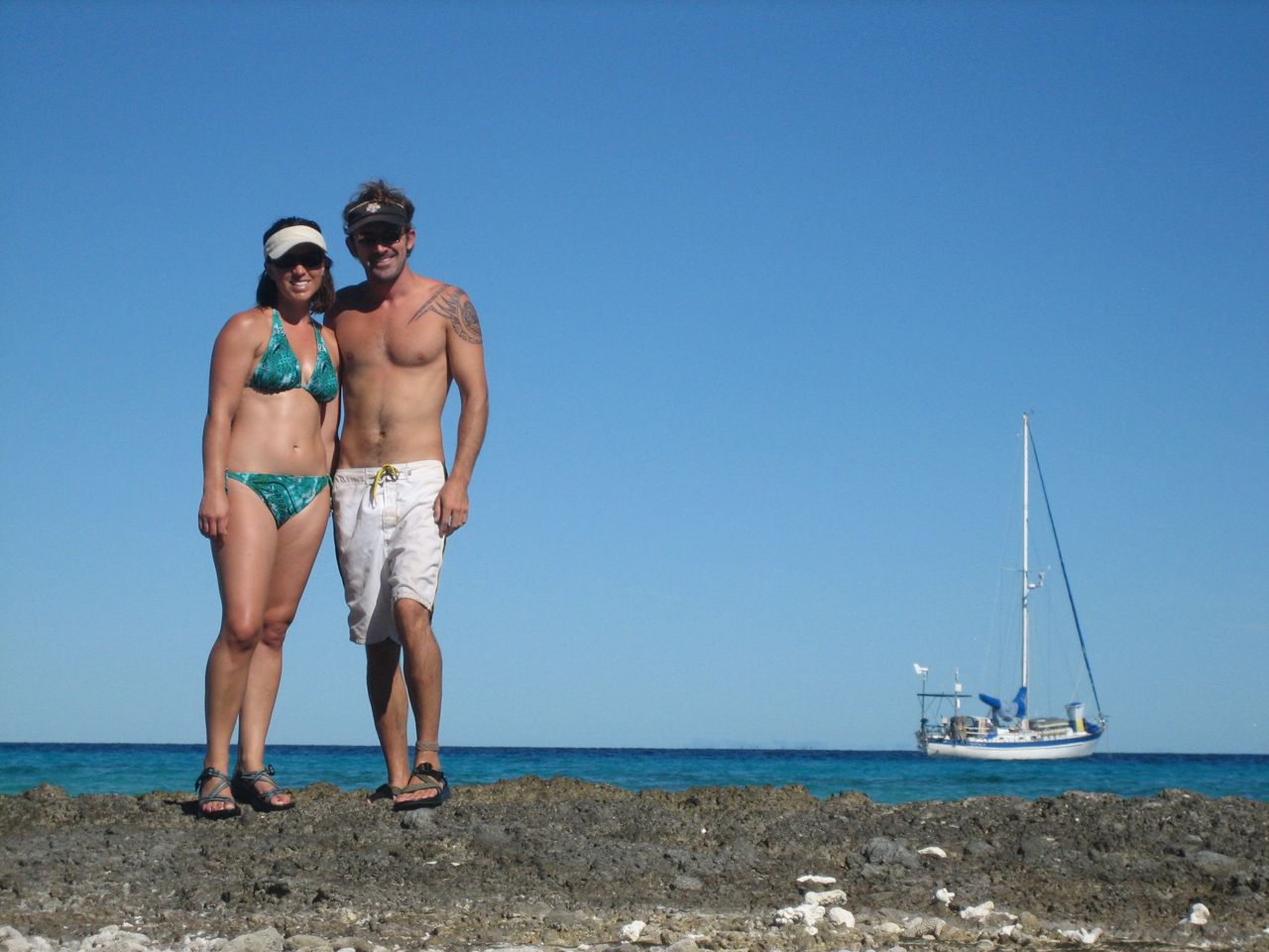
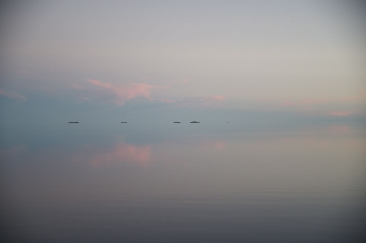
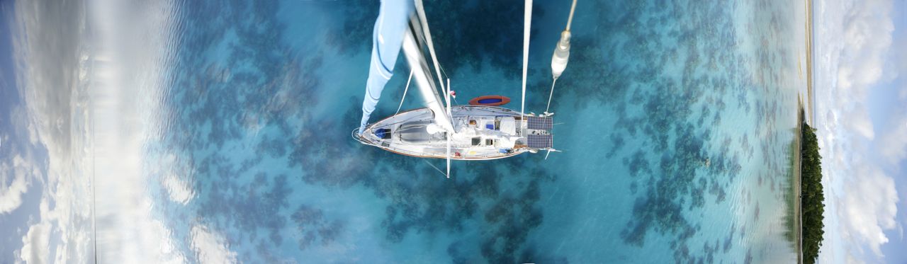
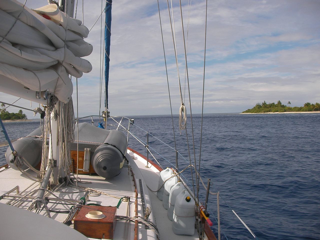
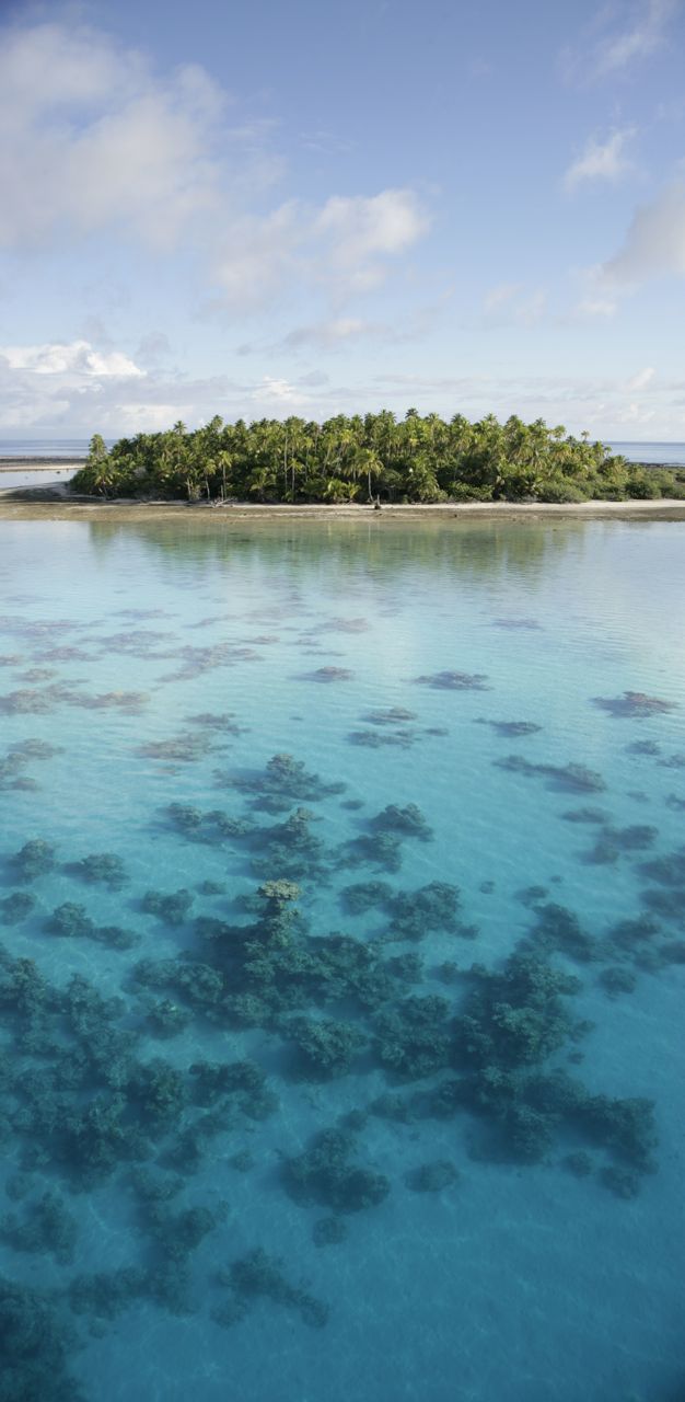
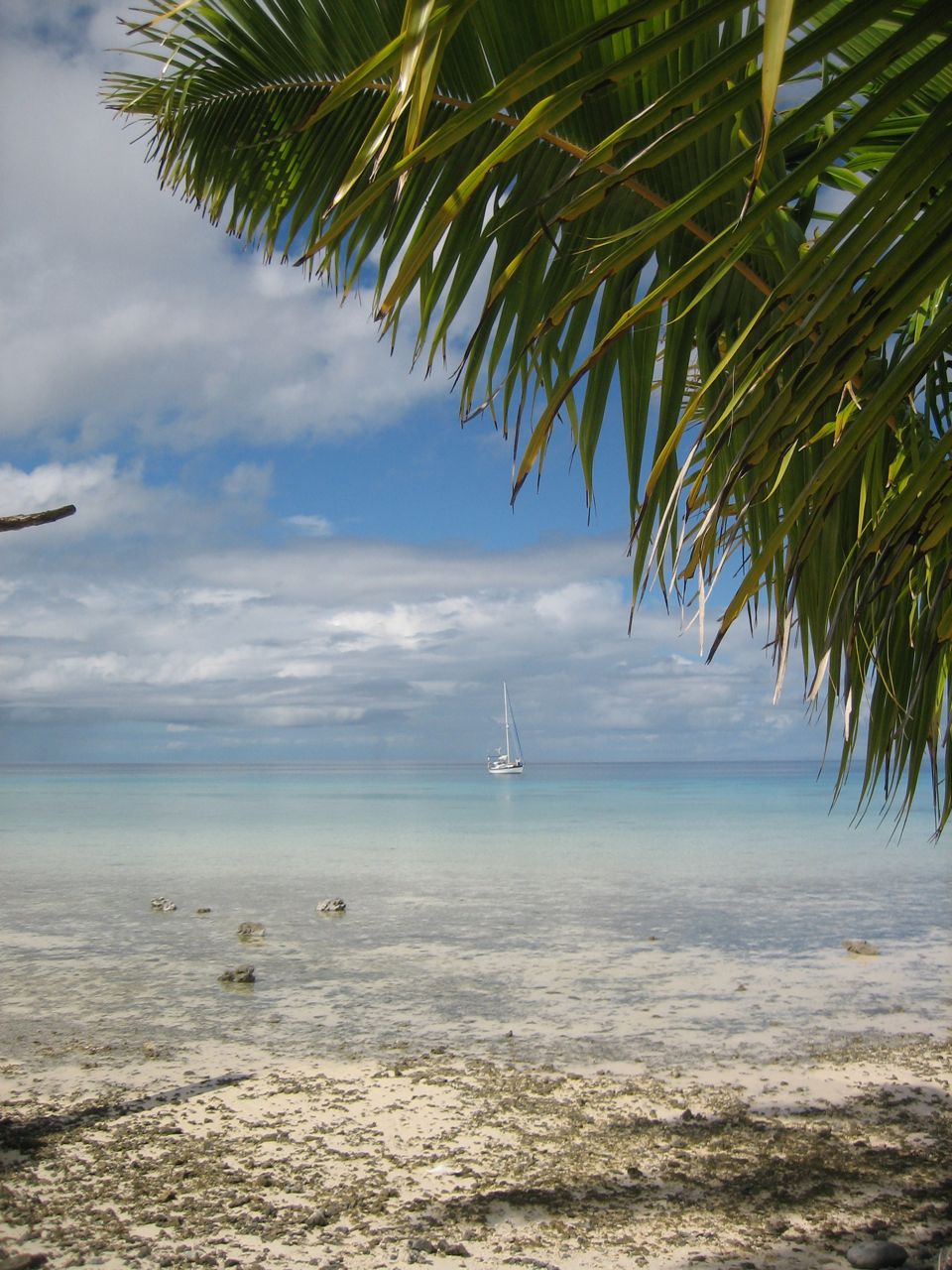
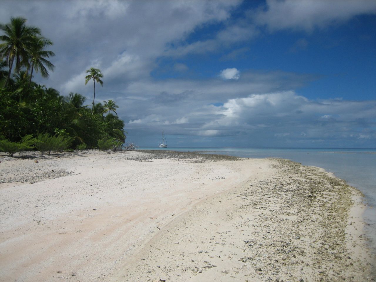
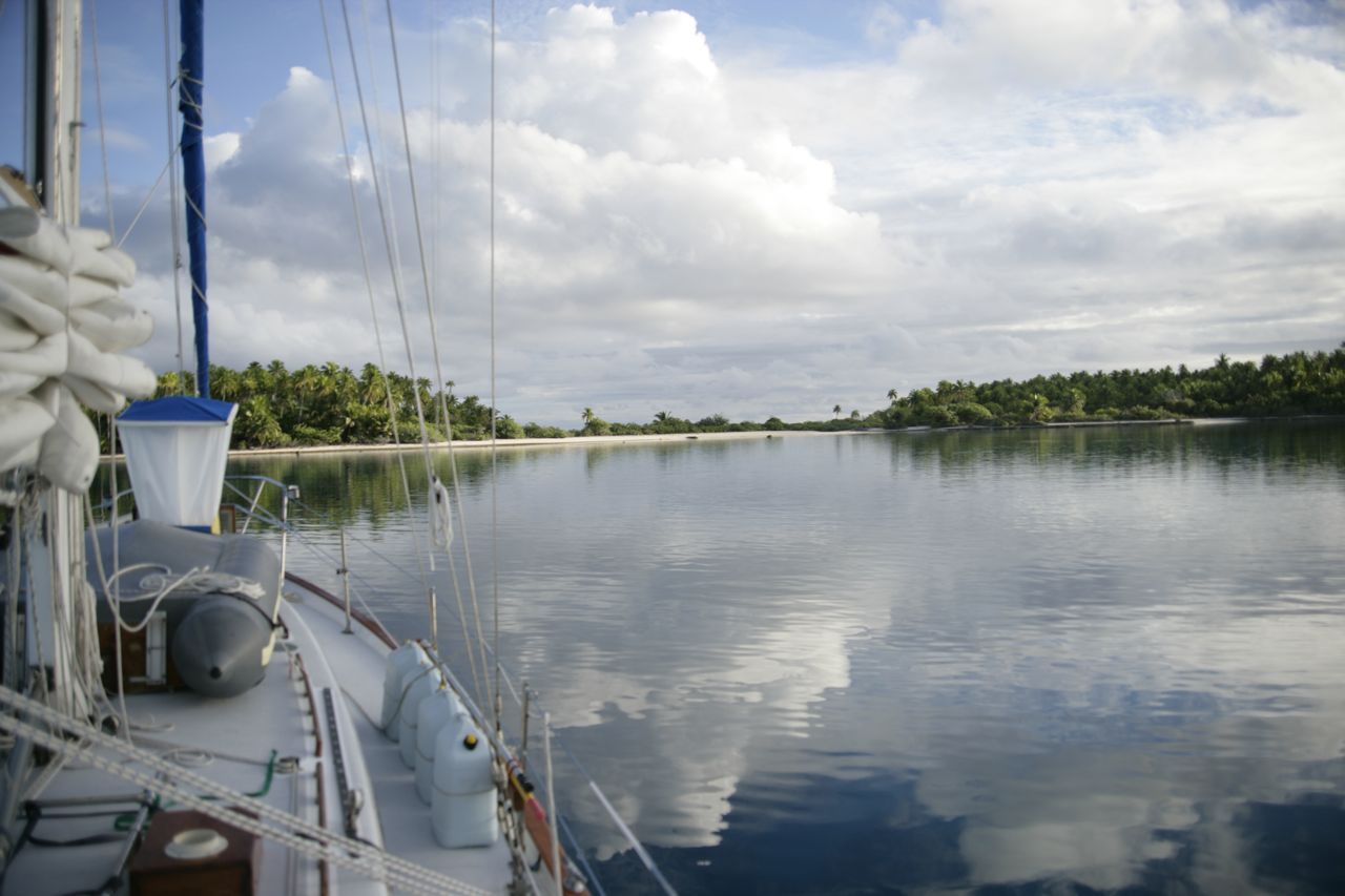
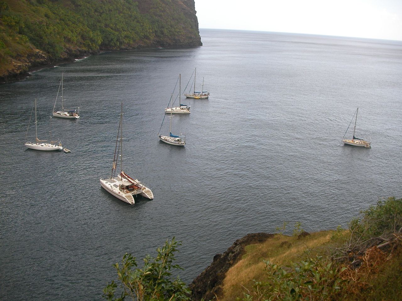
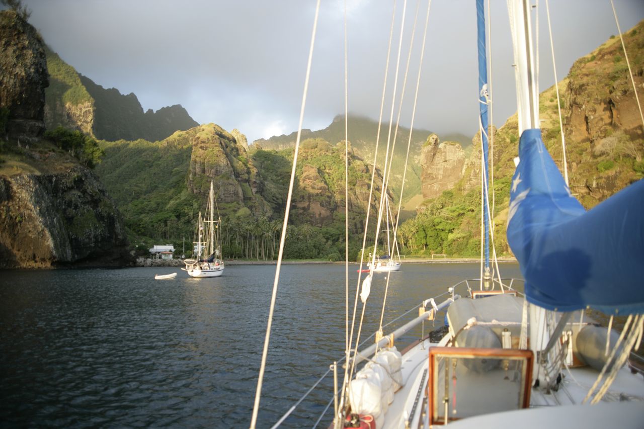
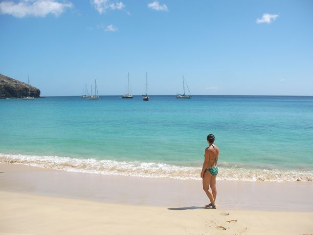
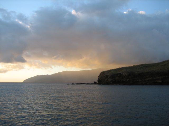
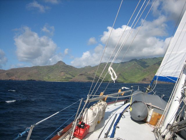
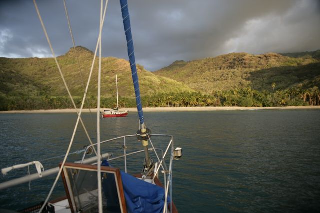
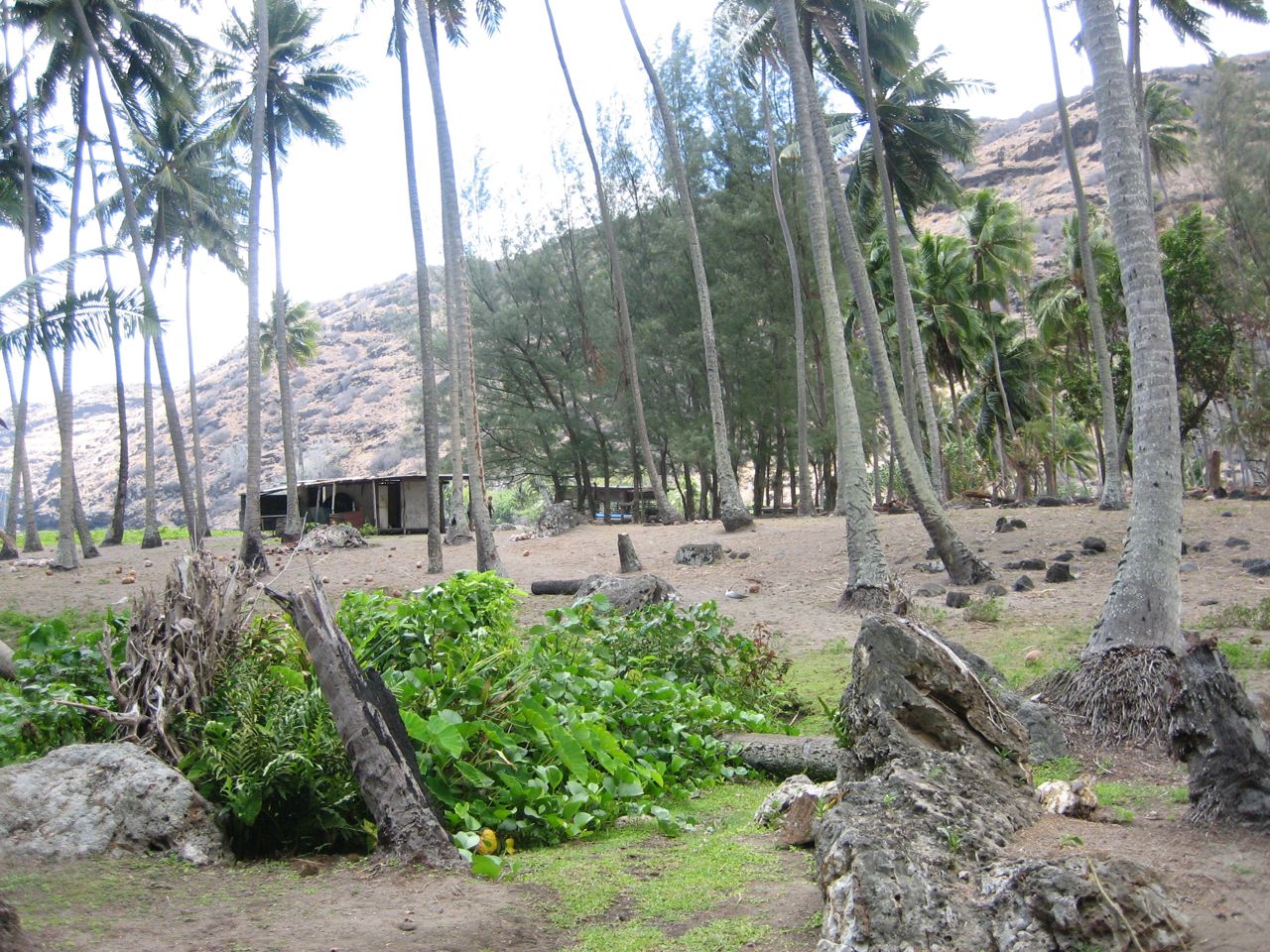
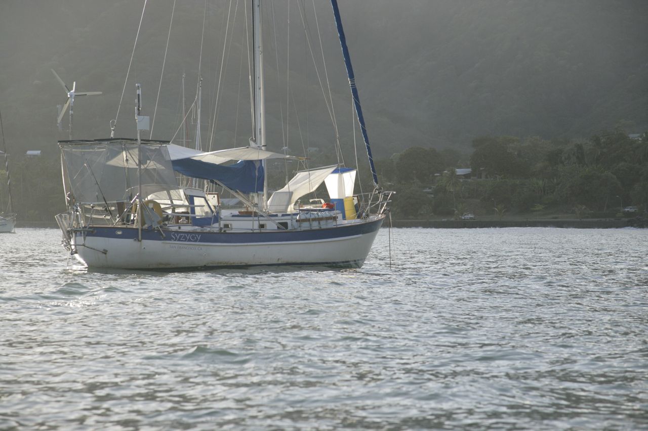
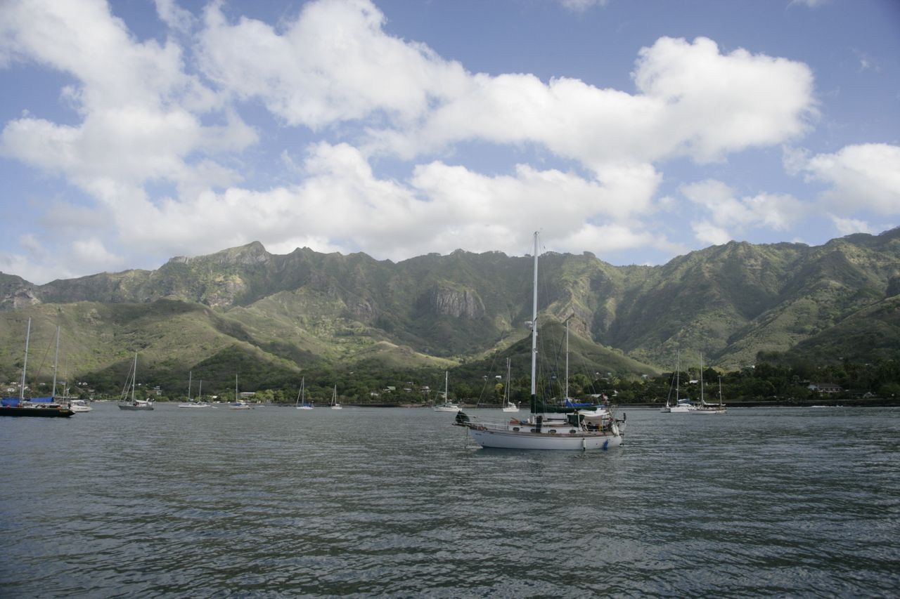
Nuku Hiva provided a nice sheltered anchorage for us to recuperate from 25 days at sea.  I can’t say that it’s the sort of paradise that I’ve been dreaming about: Taiohae bay, where we sat around for a few weeks (with the brief excursion to Hakatea in the middle) has rocky black beaches and cloudy opaque brown water.  Now you know we’re all thinking of perfectly clear turquoise water and white sand beaches, and we also know the south pacific has such places (bring it on).  The town was small, not tiny.  It had one restaurant (serving pizza for the white peeps), one resorty-type hotel, two small grocery stores, a basic hardware store, a few trinket shops, a large school, a church, and two food trucks that would park along the waterfront (which served an excellent burger).  The french have fully modernized this place; everything is clean and current.  It’s really hard to believe the last reported case of cannibalism was only 80 years ago!  Everyone drives pickups or suvs, the grocery stores have all the usual products (just smaller selection).  There are plenty of cell phones and satellite dishes.  The most exotic aspect of the place is how many chickens, hens, horses, and dogs everyone seems to have on their properties.  But aside from the animals running around it feels like it could be a town somewhere in europe, populated with dark-skinned marquesans of course.  Granted, this town of Taiohae is the largest in the Marquesas, and the administrative center, so it is unlikely that the other bays and islands are as familiar-feeling as this place is.

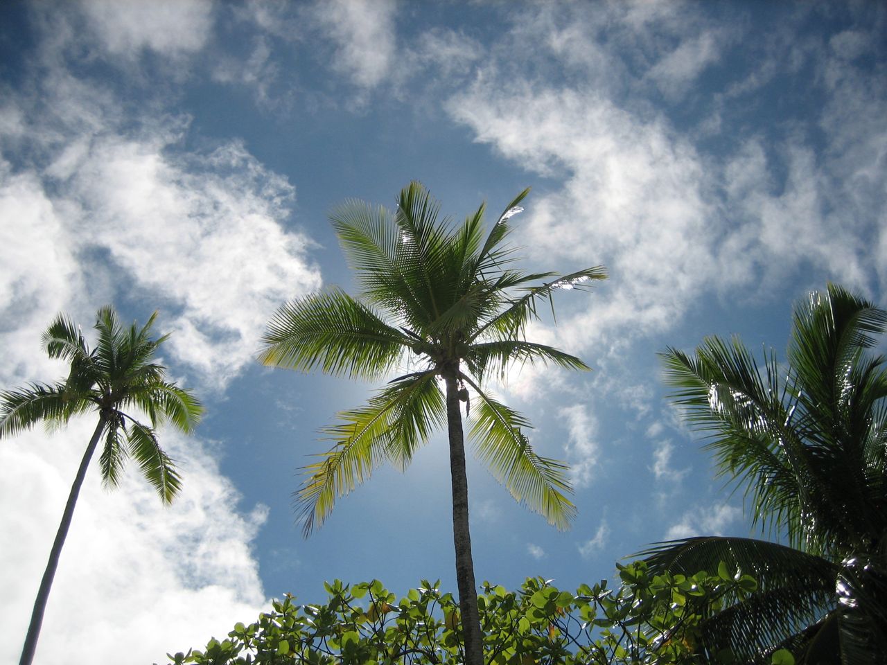
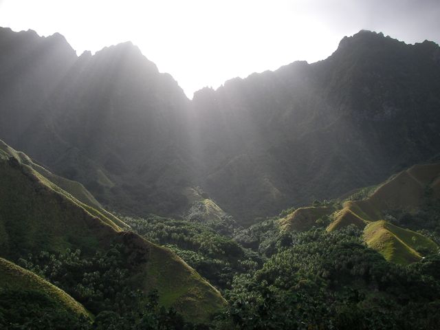
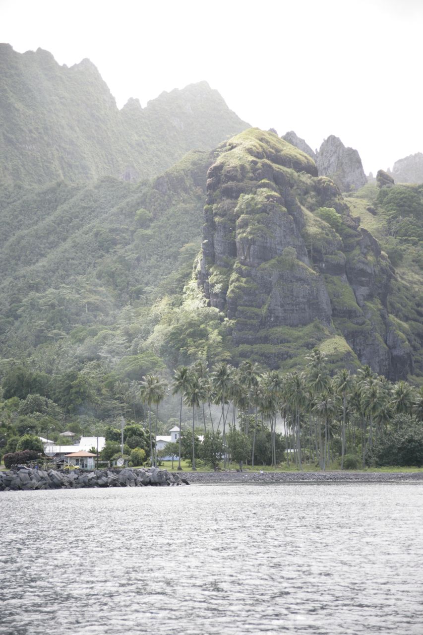
Neither is it as tropical as I expected.  Supposedly some of the more southern islands we will visit are closer to the rainforest jungle feel that I had imagined.  On Nuku Hiva there is a mix of low scrub and palm tree forest; some hillsides are covered with palm trees, others look not unlike the side of a mountain in utah with scraggly brush struggling to find moisture.

The terrain is pretty impressive–although the island is small, the hills are steep, and it looks like you could have some really exciting times negotiating the dirt roads that go over the mountains during the muddy season.

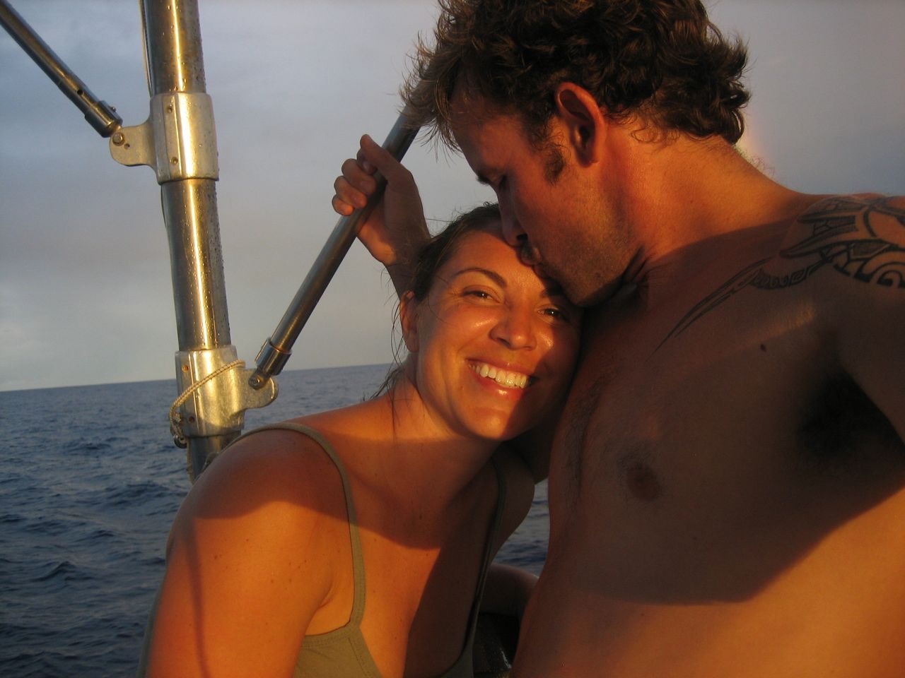
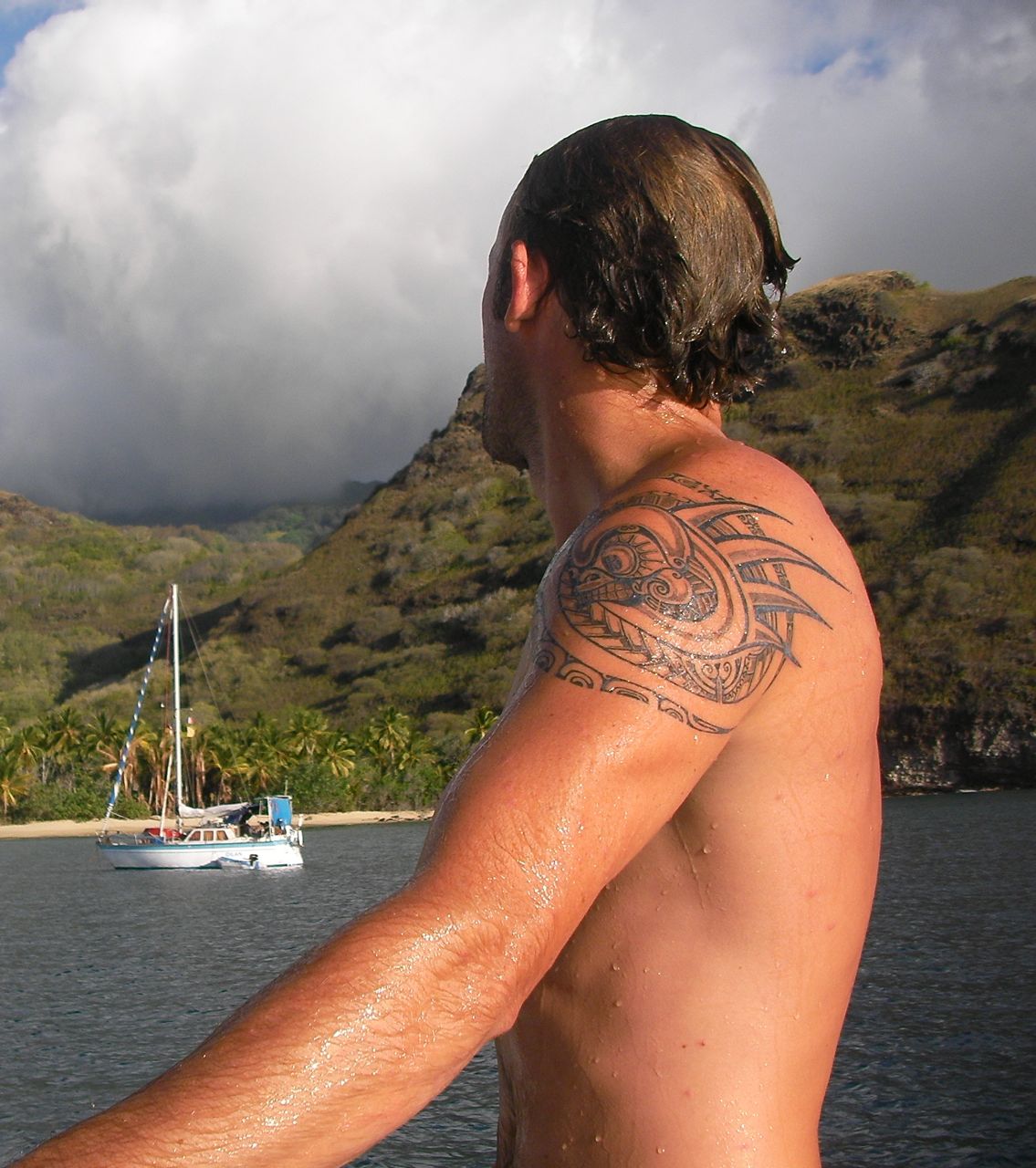
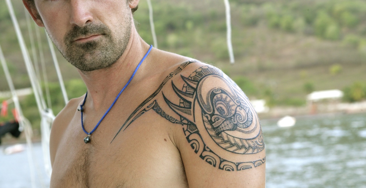
Yeah but now let’s talk about how I got a tattoo.  I have been talking about getting one for years; multiple times I’ve tried to come up with my own design, but a) there never seemed to be sufficient meaning to it and b) my designs looked stupid.   Now that I’ve crossed the pacific ocean, I felt that a Marquesan tattoo would be extremely meaningful and relevant.  Brice is a marquesan who studied his tattooing craft in france, and it seemed like everyone was visiting him to get their tattoos.  His tattoos are a modern take on the traditional marquesan symbols, and I was impressed with all the tattoos he had done for other cruisers.

The traditional marquesas tattoos are very geometric and symmetric, consisting of dozens or hundreds of smaller symbol elements.  The smaller elements are built up in geometric blocks and rows and columns (more or less) to build the tattoo.  It requires a big area to get the full effect of an old-school marquesan tattoo–the negative space is as important as the actual inked areas, and ideally there are no edges.  The Marquesan warriors would have entire limbs covered, often their entire body (including the face).  You can count me out of the whole body option . . .

ironic that despite the years of thinking about what tattoo I wanted, when it came down to it I ended up being impulsive and spontaneous about it.  I felt strangely willing to give him free rein and see how it turned out.  Formerly, the design of the tattoo had clearly been in the detailed and anal part of my personality, and somehow it ended up in the impulsive, leap-before-looking part of me.  Perhaps the recklessly impulsive element is a necessary condition for obtaining a tattoo–how many people do you know that plan every last detail of their tattoo design and still end up with one?  It doesn’t do to think about it too much, if you actually want to end up with a tattoo.  Another factor was that Brice speaks no english and I lack the vocabulary in french to talk about anything as complicated as designing a tattoo, so I couldn’t really communicate anything to him anyway.  In the end, I just wanted something that looked great–it was enough meaning for me that I would end up with a Marquesas tattoo after crossing an ocean.  So I pointed at some pictures, made some miming gestures, and submitted my shoulder to an act of chance.

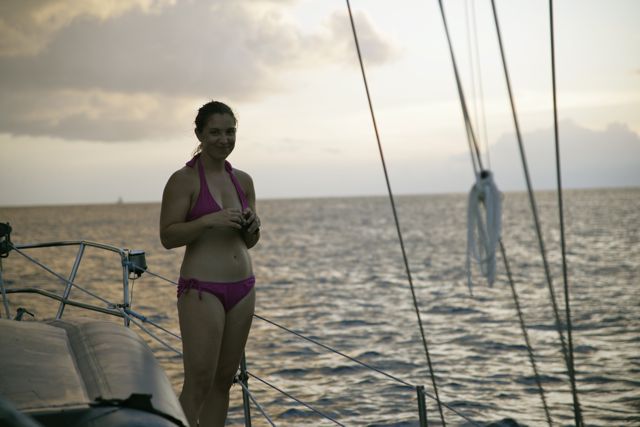
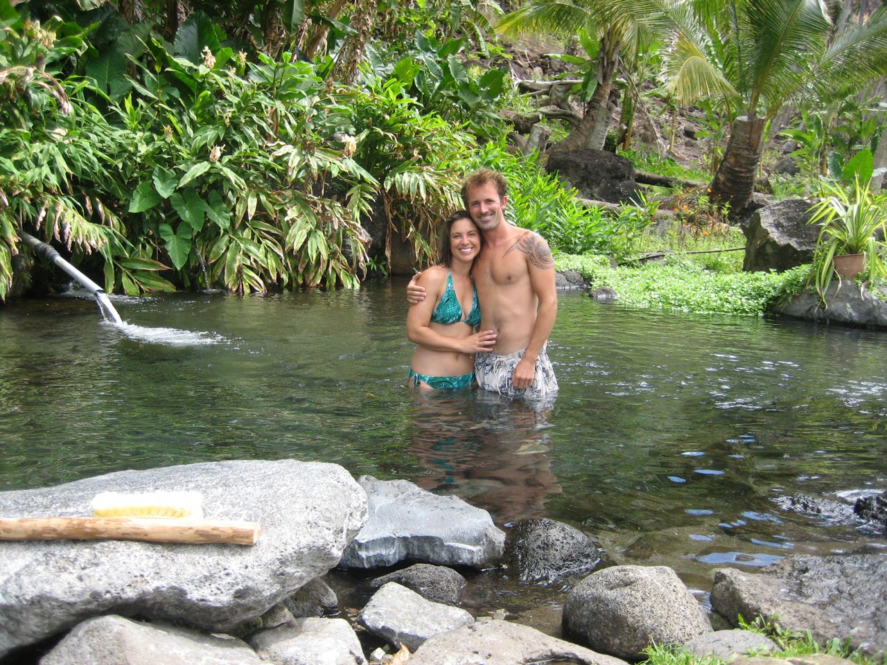
So how did it turn out?  Well it’s pretty bad-ass, if I do say so.  Brice used the individual symbols that comprise the traditional designs, incorporating them into a more flowing, dynamic container, rather than the straight-edged blockiness of the ancient style.  A scary looking tiki dominates the center, with a spiral of traditional marquesan symbols around the outside.  Among others, he used the symbols for waves, sky, the “marquesan symbol”, the “warrior symbol”, love and sex, me and karen.  And I got some spiky-things as an added bonus.  Karen ended up getting one also–a small one on her back, much more elegant and feminine than mine 🙂

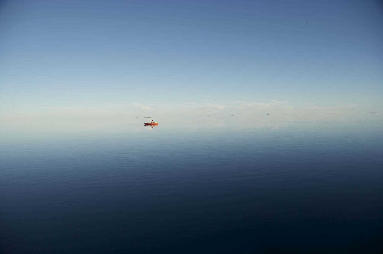
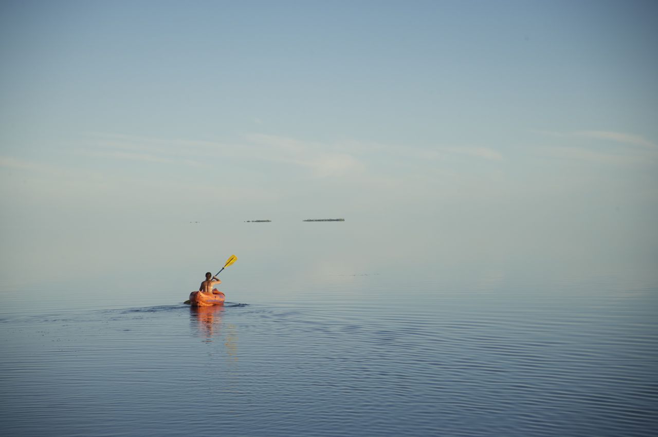
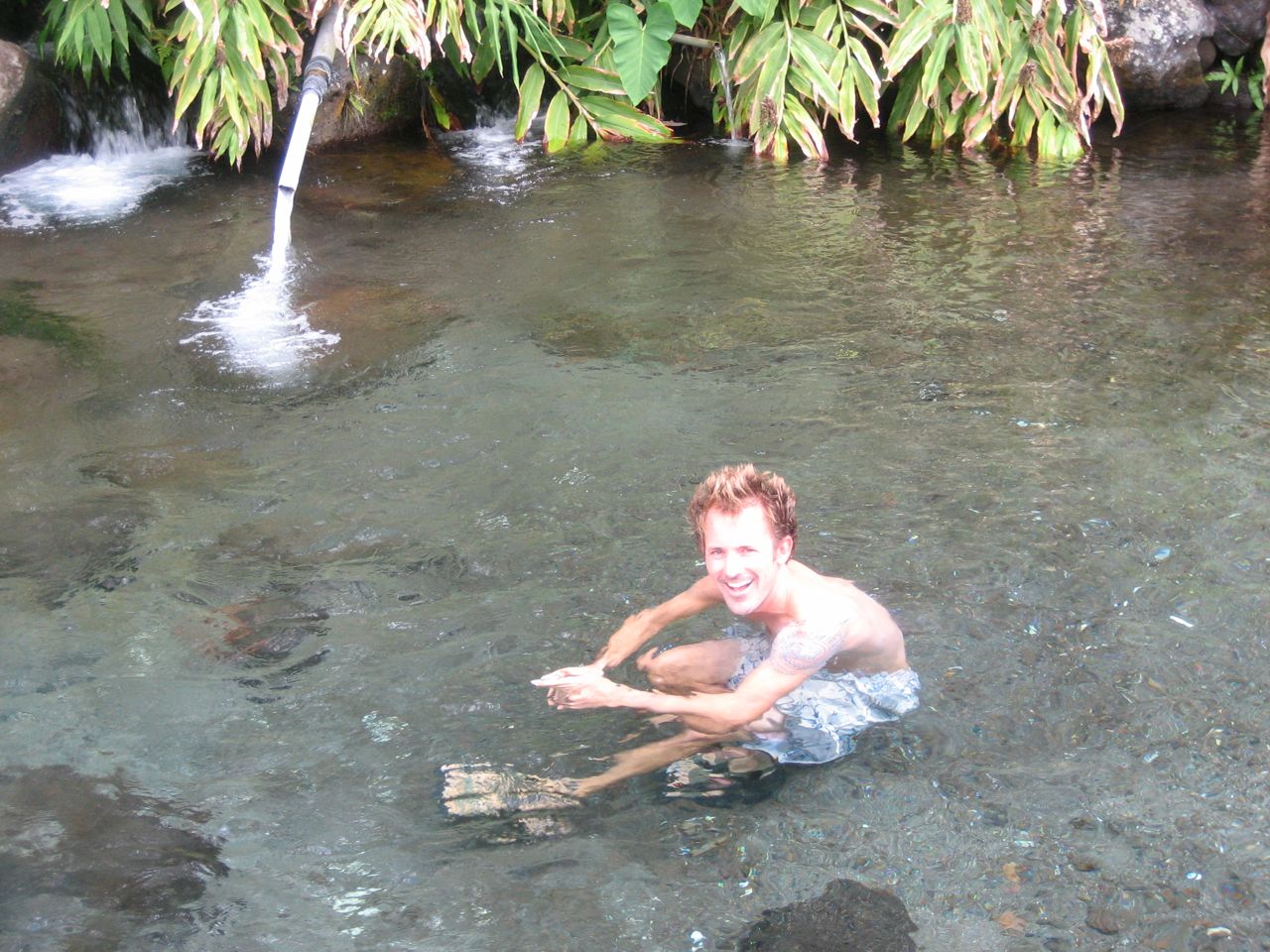
So we’ve wrapped up with Nuku HIva.  All in all, it was wonderful to be sitting at anchor being lazy for a few weeks, not getting tossed around out in the ocean, but we’re eager to visit the more exotic and exciting islands down the road.  Moving on!


Next Page »